
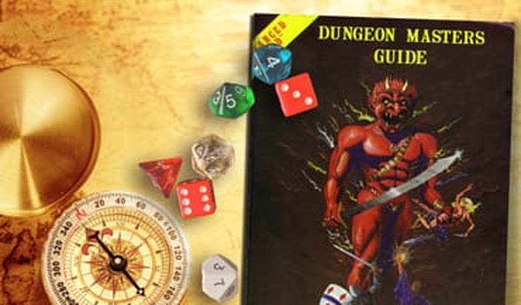
This would be, superficially, one of the least necessary articles I’d ever write: the overlap between ‘likes roleplaying games (RPGs)’ and ‘likes to draw imaginary maps of places’ is rather high. And yet… they’re often not the best maps that they could be. Some of them might even be, well, bad. So, let’s talk about how to make them a bit better.
First off… actually, first off is a quick discussion on what difference there should be between the gamemaster’s (GM’s) map and the players’ map. I know that some GMs — starting with my wife, actually — will argue that everybody’s maps should be accurate, because otherwise it’s another thing that will distract play and encourage people to argue with each other in a not-entertaining fashion. And that’s a fair point; but when you give players accurate knowledge of the area at even 1:100,000 scale you’re actually spotting them a rather comprehensive tactical advantage, historically speaking. Unless there’s a compelling reason why the other side has equal access to that kind of information, the players have a valid argument for letting them use said advantage to derail your campaign.
And that leads to the second point: how accurate are your maps, anyway? Your culture’s surveying will be only as good as their mathematics and logistics, which means that good maps are as much a product of the Industrial Revolution as was the steam engine. They will need excellent clocks to determine longitude at sea, which is another thing that had to wait upon the Modern period. And, of course, your culture will need to have a lot of time if they want to do a proper job of things. All in all, there’s a reason why maps suddenly started getting better after the era of Newton and Leibniz.
Now, obviously all of this can be mitigated in a specific campaign world. For example: in the first edition of the 7th Sea RPG one nation (Montaigne) had considerably better maps than the other ones because they had access to a specific kind of magic that allowed them nigh-instantaneous teleportation. So they would jump to a specific ship every day at noon, their capital’s time; the ship’s captain would then compare that noon with local time, then use trigonometry to determine the distance. Easy enough, but it illustrates two points: first, there’s got to be a reason why the maps are so anachronistically advanced.
Second, governments are going to be very motivated to exploit whatever reason the GM comes up with, which will have definite consequences for a campaign. For example: having access to flight will allow for more accurate maps. Seems logical, right? …Well, so is the Anti-Alien Aviation Act of 1823, which makes it a felony for any foreign national to use a flight spell within the boundaries of a specific country. Assuming that a foreign wizard flying about isn’t simply shot as a spy (lots of people throughout history have gotten shot or hung or just plain stabbed in the street for being even suspected of being spies, often with no consequences to the people doing the shooting, hanging, or stabbing). For that matter: what happens if a map is too accurate, from a supernatural point of view? If you fold the map wrong, does whatever town that was on the fold suddenly get a tiny, but real, increase in bad luck?
Some final considerations on cities — or, perhaps, just ‘pet peeves’:
- If you draw a city that is at the junction of two rivers, or at the place where the river meets the ocean, the GM had best find a really good reason why said city is not a hub for trade, in the middle of a rivalry/trade war/just plain war with another city downriver or down the coast, and/or lacks the defensive structures necessary to prevent rival countries from conquering it.
- Putting a city in the middle of a mountain range invites the question “What are they eating?” Even Dwarven cities would have this problem, although admittedly ‘subterranean fungi’ can cover a number of cartographic sins.
- Abandoned cities should be abandoned for a reason. An ongoing one. Just getting sacked once isn’t enough: just look at the history of Troy, which was sacked, burned, abandoned, refounded, dwindled away, and largely drifted — and if the Dardanelles trade ever significantly picks up again, the city will pop right back into existence as if it never left. Generally, cities are most likely to stay abandoned if they had only one reason to exist in the first place, or there’s an ongoing danger in the area, or everybody in the area died off. And if the location is somewhere that’s easy to get to, then even those reasons may not be sufficient. Keep that in mind when giving the players an abandoned city to explore. And loot, although all of the looting really should have happened already.
Lastly: boundaries are never as neat and tidy as they are in the maps, or fiction. Countries have always been ready to fight over where the ‘natural’ border to a country was, and the arguments were quite often backed on both sides with credible evidence and precedent. And this problem did not go away with the advent of good maps. Quite the contrary, really. To give an example: the United States threatened war over the boundary lines of both Oregon and Maine, and eventually did get drawn into war over the boundaries of Texas. Many other countries have skipped right ahead to having the war.
The campaign possibilities in this should be obvious. Particularly if the players in the middle of a disputed zone when the war suddenly happens.


Join the conversation as a VIP Member