
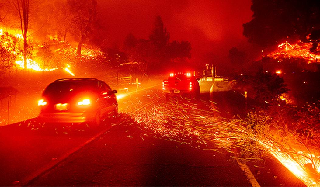
As numerous wildfires ravage millions of acres across the western United States and Canada, their smoke plumes can clearly be seen from space. On Tuesday, the National Oceanic and Atmospheric Administration (NOAA) released a time-lapse video of Earth as seen from its GOES17 observation satellite:
UPDATE: Numerous #wildfires across Canada and the western U.S. are spewing out so much #smoke that it now covers much of the sky in both nations, seen here from @NOAA's #GOES17🛰️ this afternoon. More than 90 large wildfires are actively burning across 12 states in the U.S. pic.twitter.com/ZnwkZXHyir
— NOAA Satellites – Public Affairs (@NOAASatellitePA) August 2, 2021
The video shows hundreds of miles of the sky over North America that are covered with a thick blanket of smoke–and it’s no wonder. As of Monday, the National Interagency Fire Center (NIFC) reports the wildfires continue to grow across the United States:
Wildfire activity continues in 15 states across the country. Currently, 108 large fires or complexes have burned 2,325,263 acres. More than 25,200 wildland firefighters and 33 Type 1 and Type 2 incident management teams are assigned to incidents. So far this year, 39,402 wildfires have burned 3,623,259 acres.
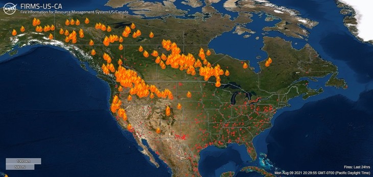
The Canadian Wildland Fire Information System (CWFIS) reports that there are over 578 active wildfires burning throughout Canada. A map of all active North American wildfires can be seen on NASA’s Fire Information for Resource Management System US/Canada (FIRMS) website:
Very warm and dry conditions are forecast into the foreseeable future for much of the U.S. and Canada, leading many areas of Montana, California, and British Columbia to declare states of emergency and order evacuations.


Join the conversation as a VIP Member