[NOTE: Follow me on Twitter for the very latest on Isaac. Also, live tidal data here.]
* * * * *
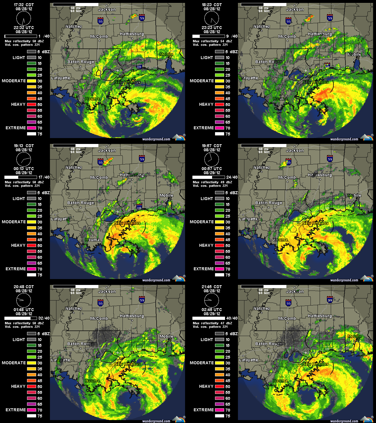
Hurricane Isaac officially made landfall in Plaquemines Parish about 40 minutes after I prematurely called it, basically because its eye expanded and backed into the coast. It then moved back off the coast, and is currently sitting over the water, spinning slowly offshore:
With the eye remaining over water, Isaac still has a chance to maintain its strength, or even perhaps strengthen a little, for quite some time. Even once it moves over the swampy bayous, that may remain true. According to the 11pm NHC discussion, little change in strength in expected over the next 12 hours. (Note: the barometric pressure has actually dropped to 968 mb.)
So, at this speed, all of southeastern Louisiana is going to take an extended battering, both from the winds and, more importantly, from the rain — possibly as much as 20 inches or more — and storm surge. (The surge is still rising at Shell Beach, LA, for instance.)
Here are some high-resolution satellite images of the landfall:


Join the conversation as a VIP Member