

The tropical wave off Africa that I mentioned Monday has been designated “Invest 98L,” and it could become Tropical Depression Five later today — but it would likely weaken shortly thereafter as it heads off to the west-northwest, toward cooler waters.
Here’s a mashup of a NOAA water temperature map and the approximate location and likely track (roughly speaking) of 98L, based on computer model data from sfwmd.gov:

Here’s what the National Hurricane Center’s 8am EDT Tropical Weather Outlook has to say about 98L:
A WELL-DEFINED AREA OF LOW PRESSURE IS LOCATED ABOUT MIDWAY BETWEEN THE CAPE VERDE ISLANDS AND WESTERN AFRICA AND IS MOVING TO THE NORTHWEST AT 10 TO 15 MPH. THIS SYSTEM HAS THE POTENTIAL TO BECOME A TROPICAL DEPRESSION TODAY BEFORE MOVING OVER COOLER WATERS TOMORROW. INTERESTS IN THE CAPE VERDE ISLANDS SHOULD MONITOR THE PROGRESS OF THIS SYSTEM. REGARDLESS OF DEVELOPMENT…HEAVY RAIN AND GUSTY WINDS ARE POSSIBLE OVER THE CAPE VERDE ISLANDS LATER TODAY AND TOMORROW.
The NHC gives the system a “medium” (or 20-50%) chance of tropical cyclone development in the next 48 hours. At present, however, it appears likely to be a “fish” (i.e., staying safely out at sea) even if it does form.
UPDATE: Nothing yet, as of 2pm EDT:
A WELL-DEFINED AREA OF LOW PRESSURE APPROACHING THE CAPE VERDE ISLANDS IS MOVING TO THE NORTHWEST AT 10 TO 15 MPH. ALTHOUGH THIS SYSTEM HAS NOT BECOME ANY BETTER ORGANIZED TODAY…THE LOW HAS THE POTENTIAL TO BECOME A TROPICAL DEPRESSION BEFORE MOVING OVER COOLER WATERS ON THURSDAY. INTERESTS IN THE CAPE VERDE ISLANDS SHOULD MONITOR THE PROGRESS OF THIS SYSTEM. REGARDLESS OF DEVELOPMENT… HEAVY RAIN AND GUSTY WINDS ARE POSSIBLE OVER THE CAPE VERDE ISLANDS TODAY AND TOMORROW.
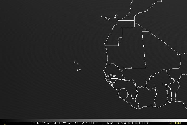
Here’s a satellite view, via NOAA:

On an unrelated note, the Houston Weather Blog — recently added to my blogroll — posts some images of the flooding caused by Hurricane Dolly. Also, the same blog reminds us that, climatologically, hurricane season starts to heat up in August, which begins on Friday. We’ve had a quiet week, and we may have some more, but coastal residents shouldn’t be complacent. Instead, as Max Mayfield suggested, use this lull as an opportunity to prepare! (Mayfield’s blog, incidentally, is chock full of good preparedness tips.)


Join the conversation as a VIP Member